Looking for design inspiration?   Browse our curated collections!

Previous Image

|

Next Image
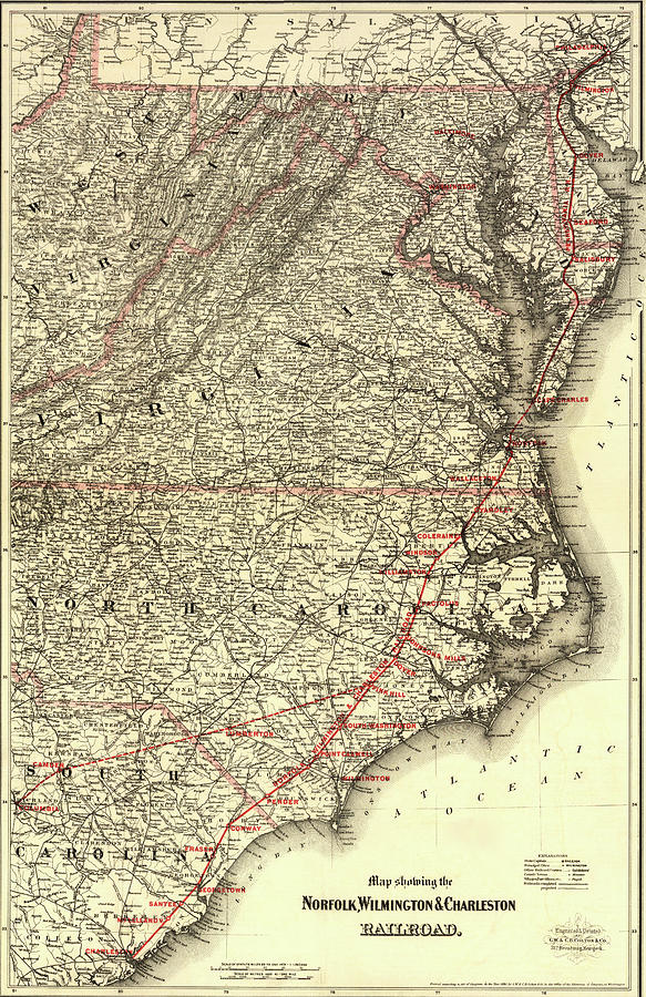
Transportation Drawing - Norfolk Wilmington and Charleston Railroad 1891 by Vintage Railroad Maps

Norfolk Wilmington and Charleston Railroad 1891 is a drawing by Vintage Railroad Maps which was uploaded on August 11th, 2021.

More from This Artist

View Profile

Chicago to San Francisco via the Burlington Route by Vintage Maps
California Southern Pacific 1876 by Vintage Maps
Northern Pacific Transcontinental 1900 by Vintage Railroad Maps
Atchison Topeka and Santa Fe Railroad by Vintage Railroad Maps
Great Central Route and Connections 1855 by Vintage Maps
Chicago Rock Island and Pacific Railway Station 1897 by Vintage Maps
Atchison Topeka and Santa Fe R R 1888 by Vintage Maps
Baltimore and Ohio Railroad 1860 by Vintage Maps
Canals and railroads for transporting anthracite coal to the city of New York 1856 by Vintage Maps
Florida Transit and Peninsula Rail Road 1882 by Vintage Maps
Grand Rapids and Indiana Railroad 1871 by Vintage Maps
Maine New Hampshire Vermont Massachusetts Rhode Island Connecticut and Lower Canada 1860 by Vintage Maps
Montana 1881 by Vintage Maps
New York showing the stations distances and connections with other roads 1858 by Vintage Railroad Maps
Oregon and Washington Territory 1880 by Vintage Railroad Maps
Nevada 1893 by Vintage Railroad Maps
Pennsylvania Central 1854 by Vintage Railroad Maps
Shenandoah Valley 1890 by Vintage Railroad Maps
Union Pacific system of railroad and steamship lines 1900 by Vintage Railroad Maps
Railroad map of the United States 1858 by Vintage Railroad Maps

Comments

There are no comments for Norfolk Wilmington and Charleston Railroad 1891.   Click here to post the first comment.

Recently Viewed

Norfolk Wilmington and Charleston Railroad 1891 by Vintage Railroad Maps
Previous Image Next Image